
— Real Estate. Commercial And Residental Drone Videography And Photos.
Aerial coverage that fits your project scope
Reach a wider audience with Aerial shots and fly through videos.


- Real estate videos. interior and exterior.

Stunning, high quality photo and video
We offer stunning high-quality videos and pictures, showcasing breathtaking landscapes and unique perspectives. Our professional aerial photography services will elevate your projects, providing visuals that truly stand out.

Drone Mapping
Harness drones to capture precise 3D and 2d maps of construction sites quickly and safely.
Accurate Surveys
Get precise 3D models that reveal every contour and elevation.
Safe Inspections
Avoid hazards by surveying hard-to-reach areas from the sky.
Stockpile Measures
Quickly calculate stockpile volumes with drone-captured data.
Every job is fully documented
Keep construction projects on time with updates. We can come out to your location weekly or monthly to provide real time updates on your projects status.
Measure stockpiles and ensure you get what you paid for.
Monitor construction progress to assure deadlines are met. on time. Every time.
Catch errors early and prevent costly mistakes.


Expert Photography and Videography
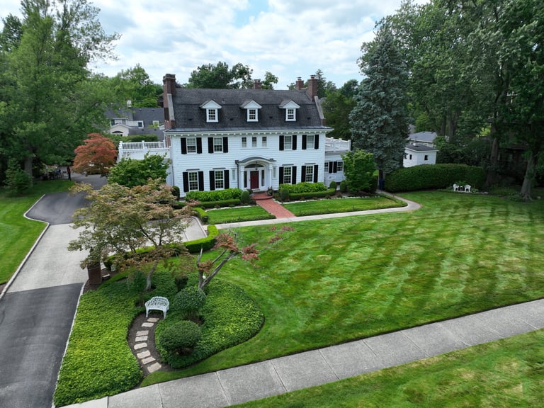
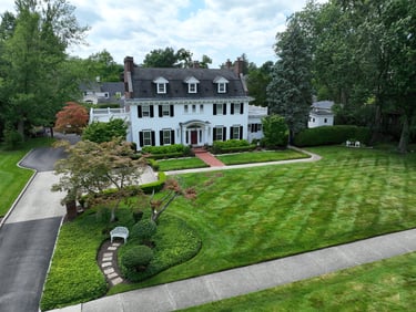
Real Estate
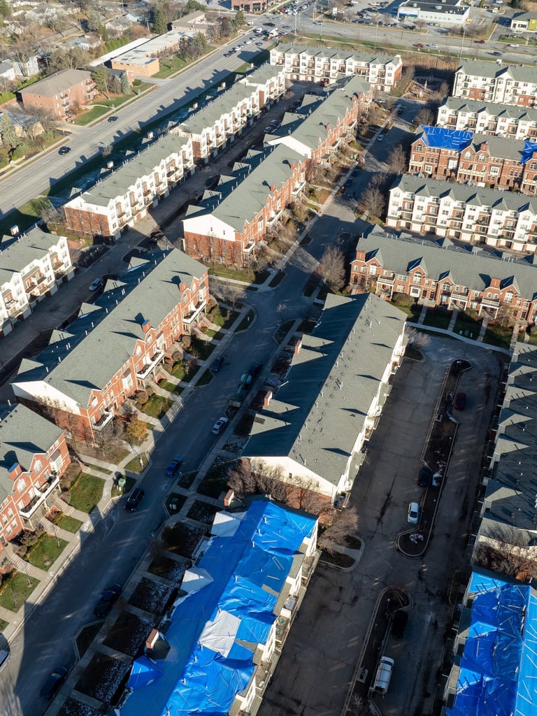
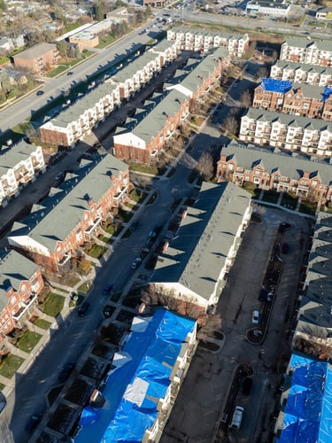
Exterior flyovers, neighborhood context shots, and lot-boundary overheads. Delivered as high-resolution stills and 4K clips ready for MLS and marketing.
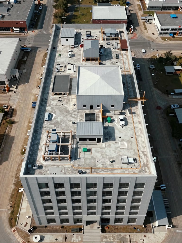
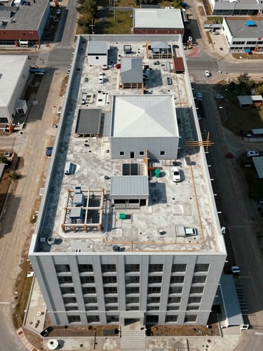
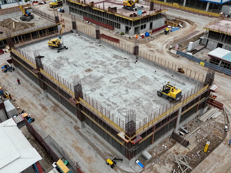
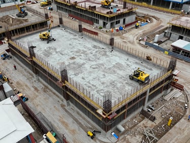
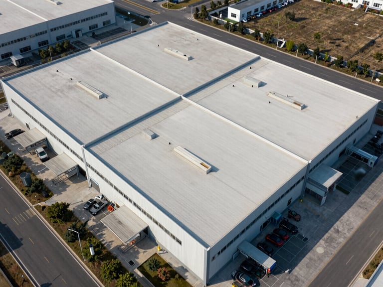
Construction Progress
Scheduled site documentation from ground-break to punch list. Timestamped stills and short clips organized by phase — useful for lenders, owners, and project records.
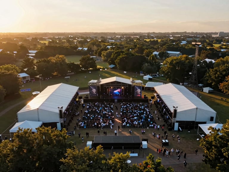
Events
Venue coverage and crowd-scale overheads for festivals, races, and corporate gatherings. Booked with a confirmed weather window — rescheduled if conditions don't hold.
Media Production
B-roll and establishing shots for commercial spots, documentaries, and branded content. Log or graded deliverables matched to your post-production pipeline.
From scope to delivery in three steps
Scope and Quote
Schedule and Permit
Deliver and Hand Off
Submit your project details. We confirm deliverable format, airspace classification, and a fixed quote within one business day.
We file airspace authorizations and lock a shoot date with a weather hold. If conditions don't meet standard, we reschedule — not improvise.
Edited files in your specified format, transferred within three business days of the shoot. No revisions needed for color — we shoot in usable light.
Every job is FAA Part 107 compliant and insured. Permitted airspace across the county is already mapped — no surprises on shoot day.